 The Good Part
So Far West It's East: Alaska's Two Extremes
America's easternmost point is in Alaska. Not Maine, where the lighthouse at West Quoddy Head marks the farthest east you can travel in the contiguous United States. Alaska, a state we think of as firmly in the west.
The answer lies in a line on the map. The 180th meridian separates the Western Hemisphere from the Eastern. Alaska's Aleutian Islands, a long volcanic chain, stretch so far across the North Pacific that they cross it entirely.
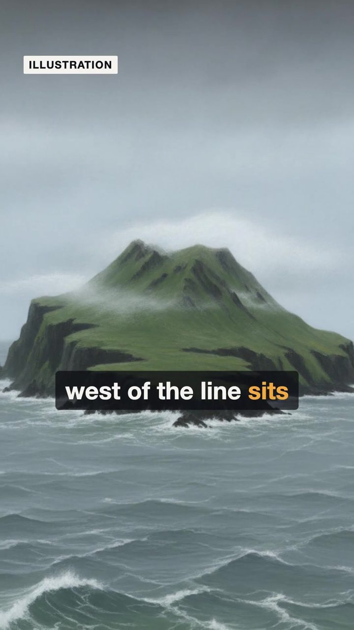
Just west of the line sits Amatignak Island, the westernmost point in the United States. Just east of it sits Semisopochnoi, an uninhabited volcanic island home to millions of seabirds. The two are only 71 miles apart. So Alaska is the westernmost state, and the easternmost too.
Where this comes from
- Why Alaska is Home to Americaâs Easternmost PointShare on XShare on XShare on FacebookShare on XShare on RedditCopy Article
- The Easternmost Point in North America Is Actually West of Alaska
- Geography of Alaska - Wikipedia
The narration is a synthetic voice; pictures are archive photographs or illustrations we generate, never of real people.